
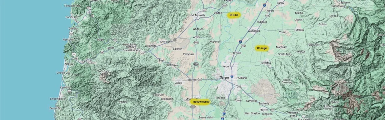
Willamette Valley, Oregon
Our Farms
As one of the largest and most diverse hop growers in Oregon, we produce millions of pounds of high-quality hops each year, from a dozen distinct varieties. We raise hops on our four distinct farm sites in Oregon’s Willamette Valley.
A few statistics are consistent across the Willamette Valley:
The average yearly temperature is 61° F, with an average annual rainfall of 44 inches. All of our farms are estimated to be 175 feet above sea level. Now let’s explore the differences from farm to farm.
HOMEPLACE FARM
Pioneer History and Oregon Heritage
4569 Mahony Rd NE, St. Paul, Oregon 97137
-
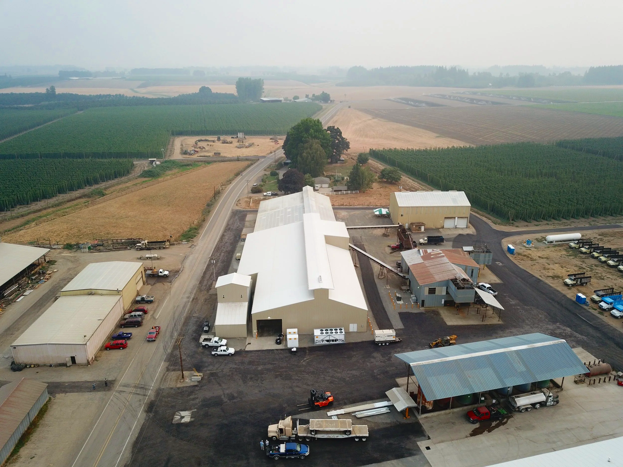
Homeplace Farm was established in 1935 in the small farming community of St. Paul, Oregon. Located in the heart of the Willamette Valley, the area around St. Paul is some of the most fertile, irrigated farm land in the country. Ben and Tom Coleman’s grandparents, Robert “R.T.” and Martha, purchased 400 acres in St. Paul from R.T.’s grandmother, Mary Ellen Jackson Coleman. This homestead was already growing some hops, however when R.T. and his sons Bill, John and Bobby took over they steadily expanded the hop growing, mainly providing hops to Anheuser-Busch.
The farm has more than doubled in size, with numerous varieties of hops, along with other crops such as grass seed, hazelnuts, garlic and a vineyard of Pinot Noir grapes.
In 2017, the hop kiln was rebuilt and upgraded with MeasureTek, to aid in better production and efficiency as our historic farm continues to grow.
-
Soil parent material:
Missoula Flood Silts and Stratified River Alluvium10 unique soil types
ALLUVIAL FARM
The Hop Lovers’ Paradise
3590 Wigrich Rd, Independence, Oregon 97351
-
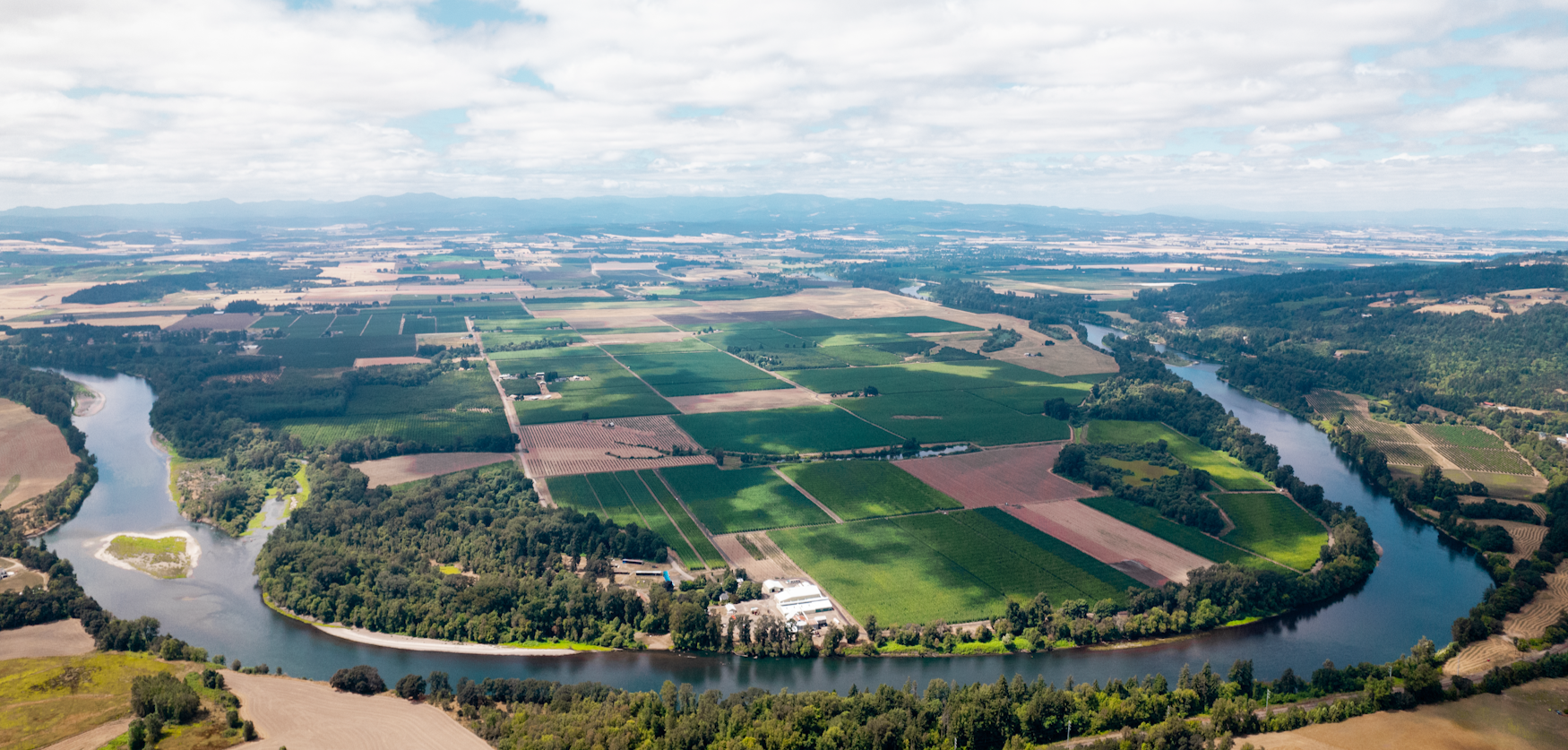
Alluvial Farm is named for the alluvial plain where the fields are located. During the 1900s Independence was lauded as the "Hop Capital of the World", and Alluvial Farm is part of a historic hop farm called Krebs Ranch (renamed Wigrich Ranch in 1911). In the 1920s it was the largest hop yard in the world under a single trellis. In 2005, the Coleman family purchased this farm from John I. Haas.
Today, this 1,050 acre farm, hugged by the Willamette River, is recognized as the largest contiguous acerage hop farm in Oregon, and consistently grows some of the most desirable hops for craft brewing. This farm raises hops from a dozen distinct varieties, is home to Indie Hops’ Advance Nursery and includes modern harvesting equipment such as a 12-kiln hop house featuring MeasureTek systems.
-
Soil parent material - Stratified River Alluvium
8 unique soil types
Adjacent to the Willamette River
MOUNT ANGEL FARM
Bavaria in Oregon’s Willamette Valley
6801 Humpert Ln NE, Mt. Angel, Oregon 97362
-
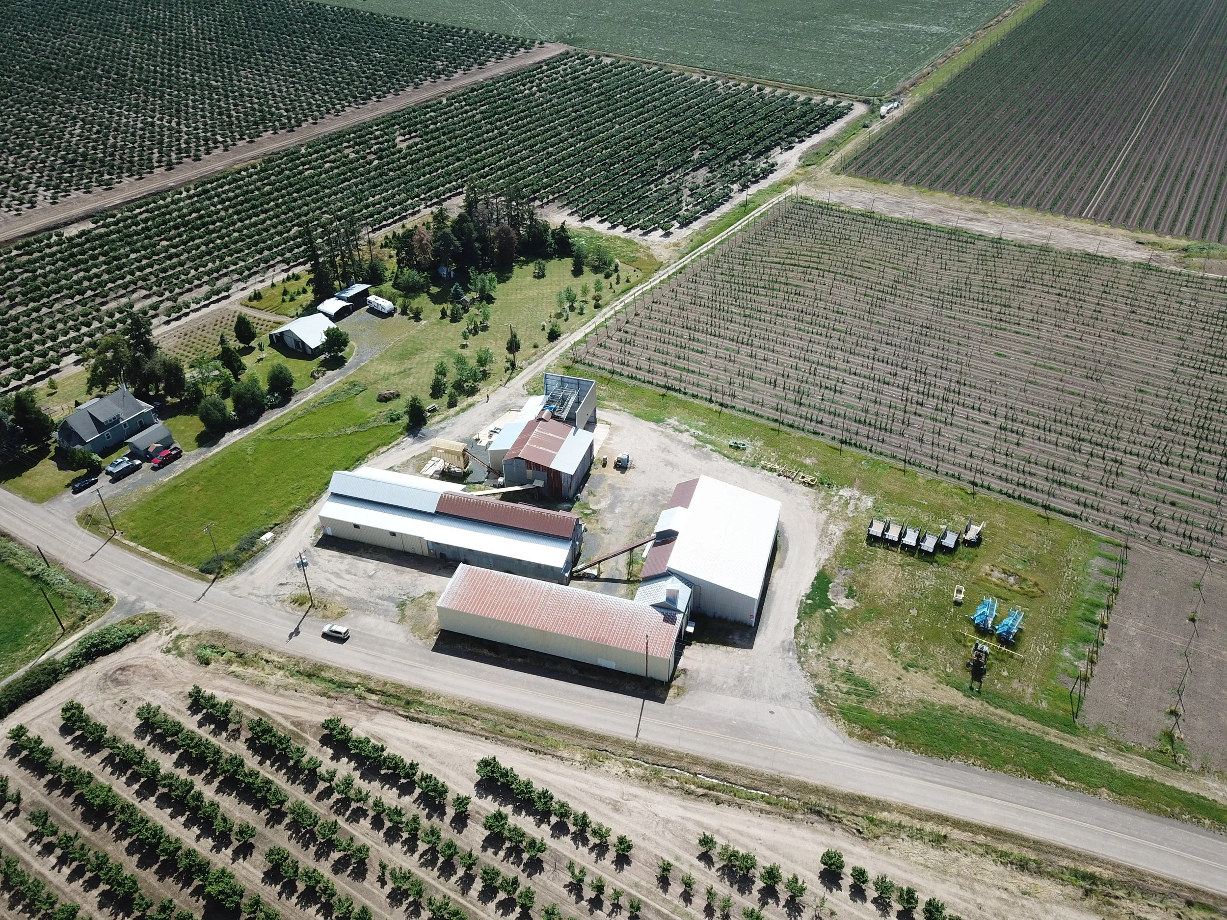
We began operating the Mount Angel Farm in 1975 when our lease with the Mount Angel Abbey Seminary first started. The site is home to the oldest remaining hop harvester and kiln in Oregon. We appreciate our long-time friendship with the Abbey and its monk-operated Benedictine Brewery.
For many years, Willamette Hops for Anheuser-Busch were the only variety grown on this farm. We now grow several hop varieties on more than 200 acres in this quaint Bavarian town, where we also cultivate hazelnuts and other crops.
-
Soil parent material:
Missoula Flood Silts and Stratified River Alluvium4 unique soil types
GREENLEAF FARM
Small-Town Values and Wild West Fun
15411 River Rd, St. Paul, Oregon 97137
-
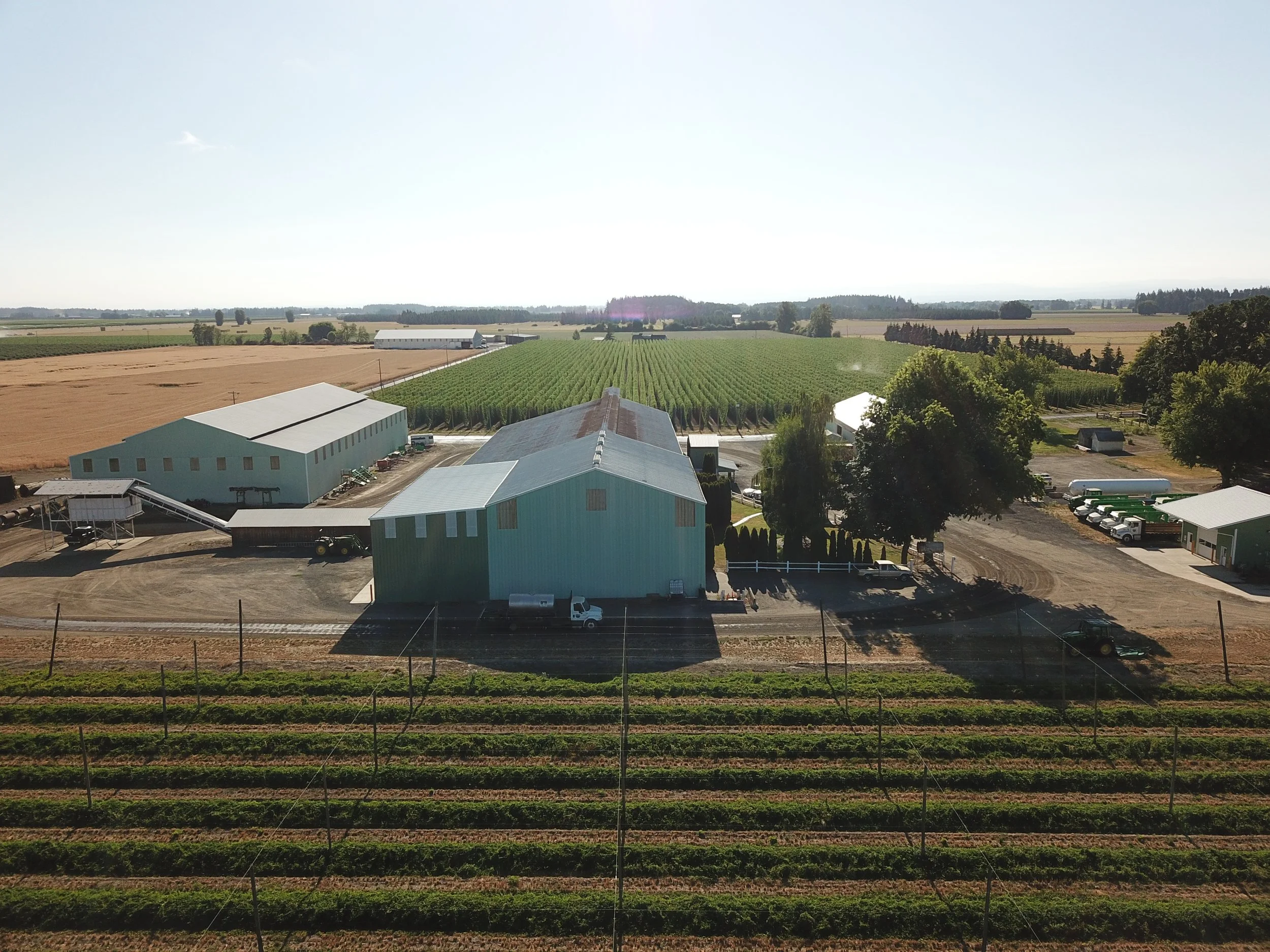
Greenleaf Farm was purchased in 2020 from our cousins Steve Coleman and Todd Koch (also a Director of the St. Paul Rodeo). This farm is located a mile and a half west of Homeplace Farm and was established in 1941 by RT’s brother, Don “Buzz” Coleman, and his wife Maureen, Steve’s parents. Manager and co-owner Todd and his family now reside on the property.
Iconic Cascade hops, developed at Oregon State University, are particularly well suited to this site, which includes fertile bottom ground along the Willamette River, as well as plentiful riparian areas and upper bench ground. Greenleaf has garnered a total of five awards from the Hop Quality Group’s Cascade Cup, scoring top honors in 2025 and 2021, plus runner-up status in 2023 and 2019.
-
Soil research in progress
Adjacent to the Willamette River